Product Description
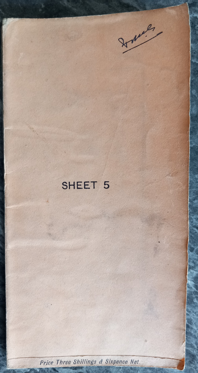
ORDINANCE SURVEY ROAD MAP OF BELFAST and district SHEET 5. Southampton: O.S.O., 1912 large paper folding map measuring 21 x 30 inches and showing the roads around Belfast, Northern Ireland. Folding into 7 x 3 3/4 inches.
Imperial scale of quarter inch to one mile, in colour, ' reduced from the one inch map of 1902'
Original price three shillings and six.
Previous owner sname neatly to front cover, no tears, no marks, folds cleanly.
 Euro
Euro
 British Pound


