Euro
Euro
 British Pound

Product Description
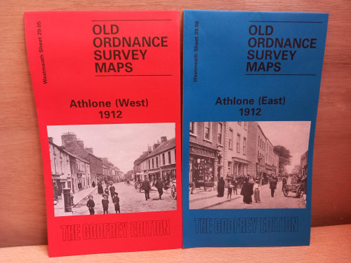
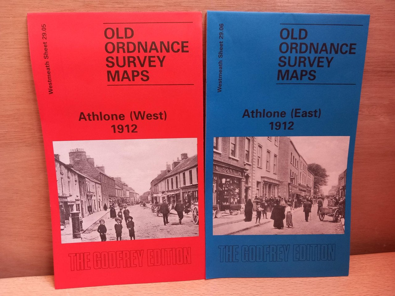
Two reproduction 1912 Ordnance Survey maps ( folded maps, covering the town of Athlone / Westmeath, east and west of the Shannon ( note the nearby parts of Roscommonon the west map are blank outside the town limits.
Approx 15 inches to the mile.