Euro
Euro
 British Pound

Product Description
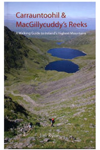
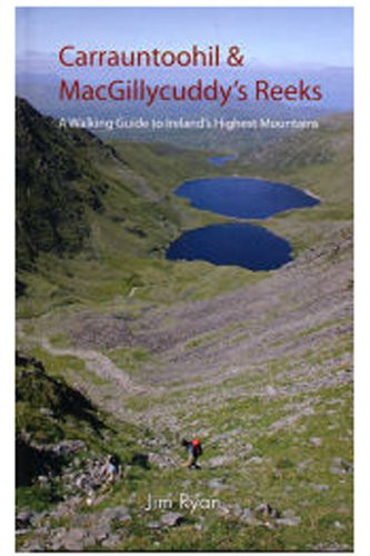
The MacGillycuddys Reeks are Irelands highest mountains with Carrauntoohil tallest at 1039m. Occupying about 100 square km., they stretch from the picturesque Gap of Dunloe in the east to Glencar in the west. Attracting over 25,000 walkers annually, they are a wonderful playground. However, many routes are not clearly marked and mist or fog covers them for three quarters of the year. Access to a proper guide is therefore essential before venturing on to the Reeks. This guide to 20 popular walking routes on the Reeks contains full-colour maps specially commissioned from the Ordnance Survey, clear photographs and precise map references. It also encompasses the history of the area, its geology and natural history, its place names and people. Useful information on travel and accommodation is also provided
This book is second hand, and while you may not get the same publication/version/reprint/edition shown in the picture it will be the same author and title.
Removing existing stickers from a second hand book may damage it, so we refrain from doing so.
Even if the picture shows no price stickers on the book they may be there on the copy you receive.
All of our books are in very good condition.
Please be aware that there will be a sticker with an identifying number on the spine of this book.