Euro
Euro
 British Pound






Product Description
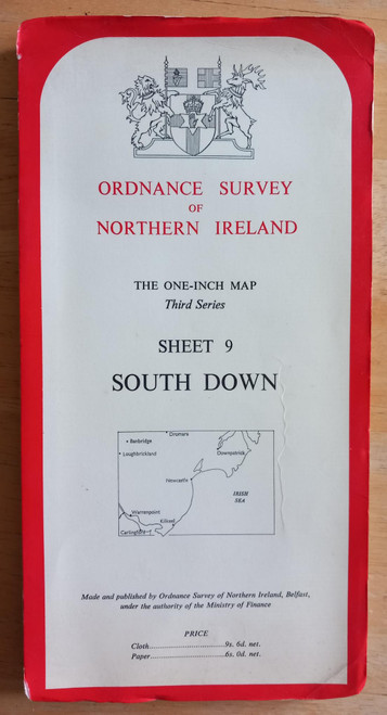
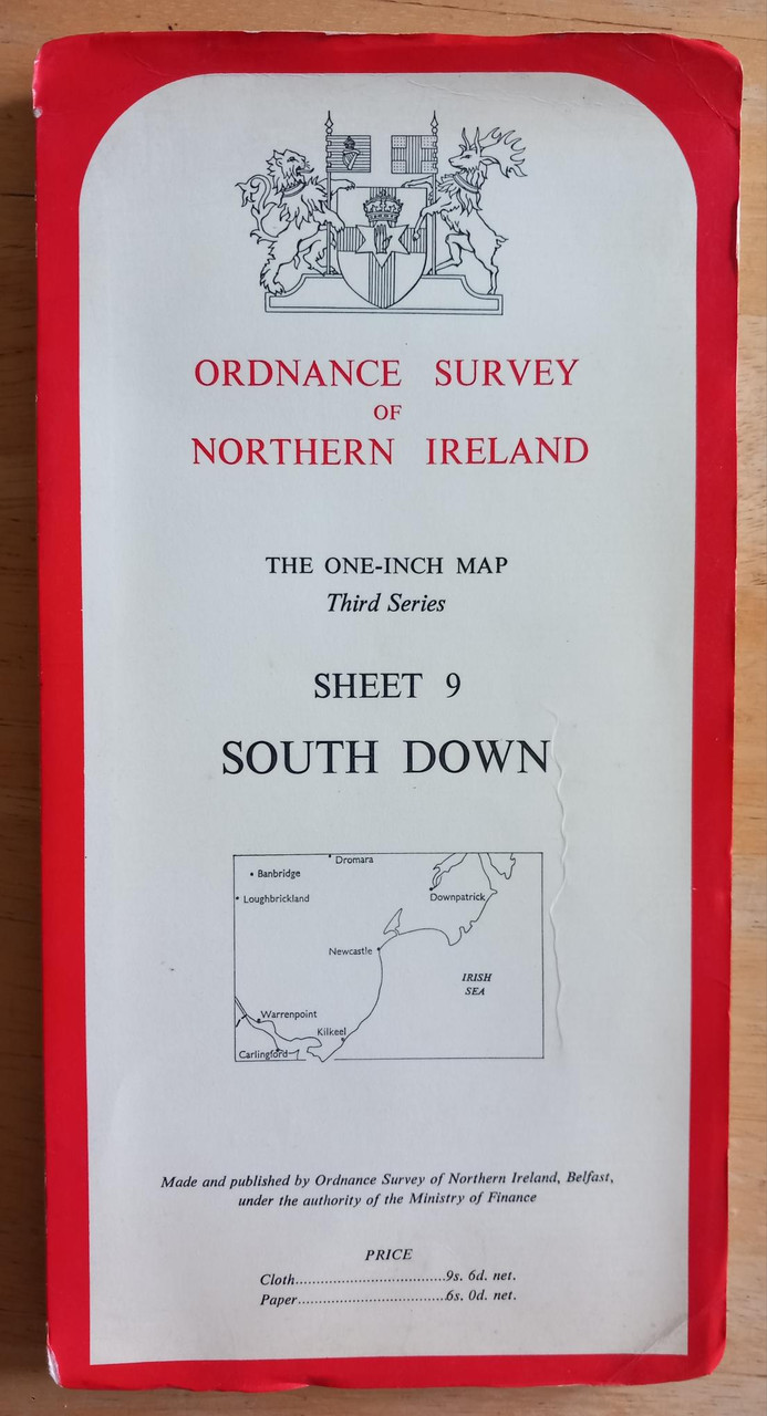
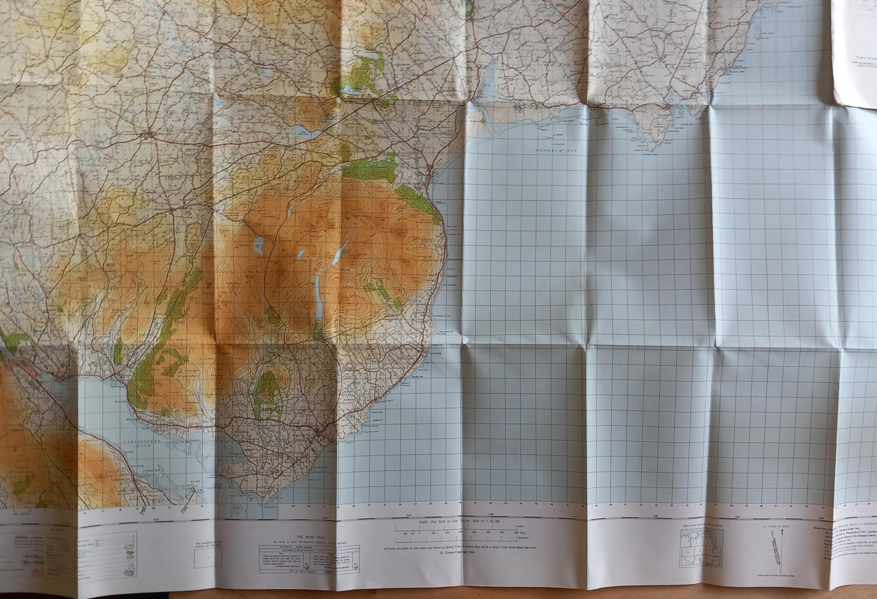
An OSNI paper folded map, 1966, Sheet 9, covering South Down ( and small areas of North Louth) - basically as far west as Warrenpoint, and north and east to Banbridge and the mouth of Strangford Lough.
In colour, one inch to one statute mile or 1 : 63,630
In very good condition, bumps to corners but otherwise good.