Euro
Euro
 British Pound





Product Description
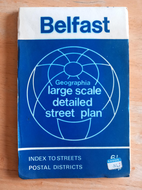
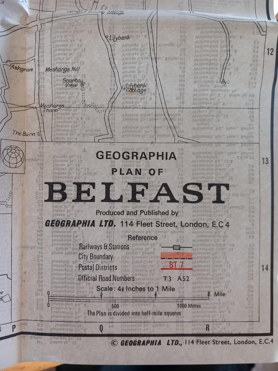
Published by Geographia UK, undated but circa 1971-72 as both predecimal and decimal prices are printed on the covers.
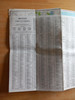
Scale is 4.25 inches to 1 mile, covers all the city, with postal districts outlined in red, and a street index printed on the back. Parks and green areas in green, Belfast harbour in blue, city limits in red.
Slightly sun faded to font cover, internally good.
This is a vintage map , and as such, streets etc will have changed . It is not intended as a current guide.