Euro
Euro
 British Pound



Product Description
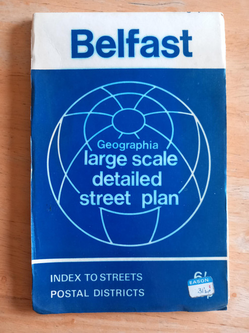
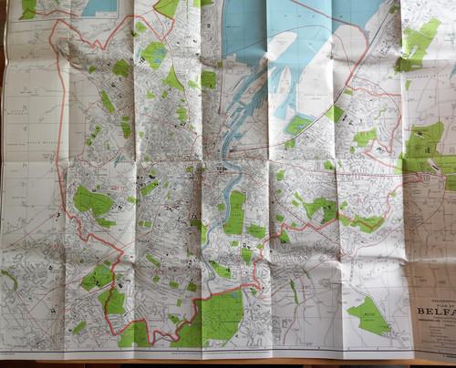
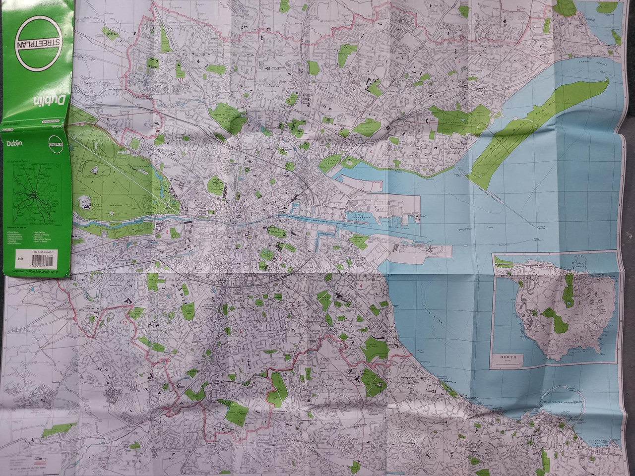
A large scale streetplan ( folded map) of Dublin city, published by Geographia Uk, undated but early 1980's ( possibly 1982) - no M50 (or even the first part, the so called Western Corridor which was the first section built circa 1987) . Also, no reference to DART stations .
Covers the city centre and Howth, many areas now fully part of the city are fields , esp areas in the west of the city - Tallaght, Blanchardstown etc.