Euro
Euro
 British Pound





Product Description
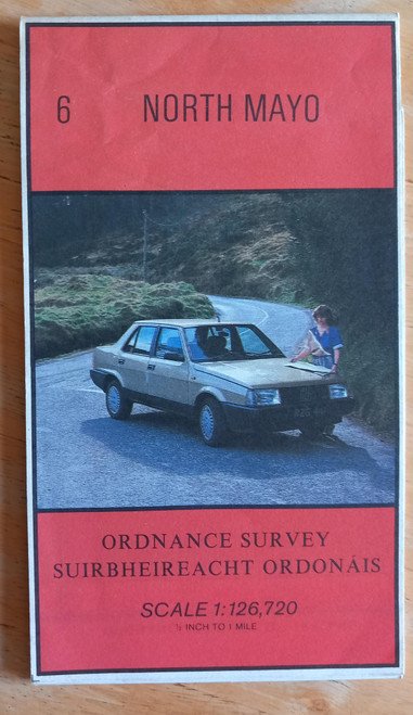
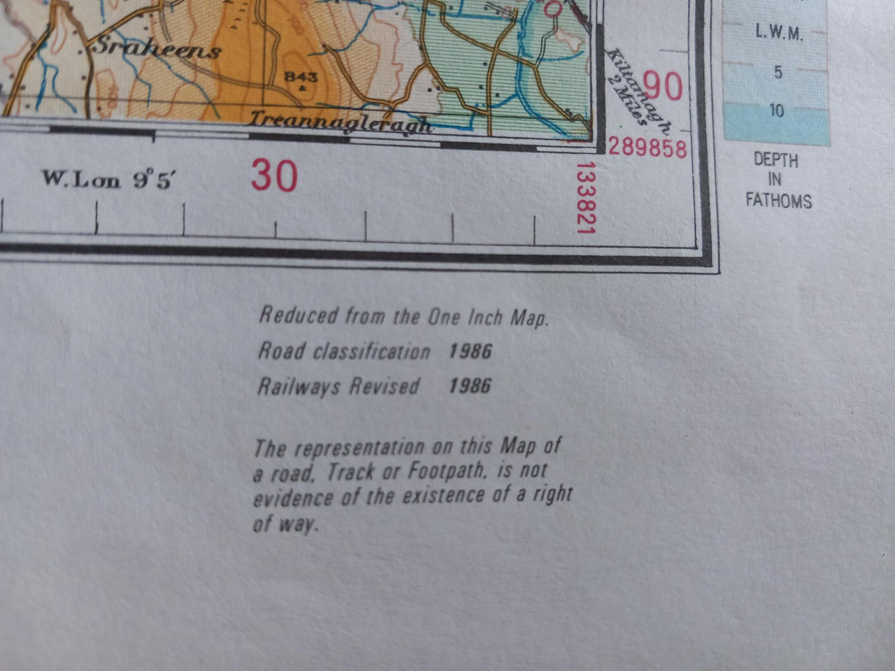
Revised 1986, a vintage folded map of North Mayo , Ordnance Survey Ireland , Map 6 , half-inch to one mile.
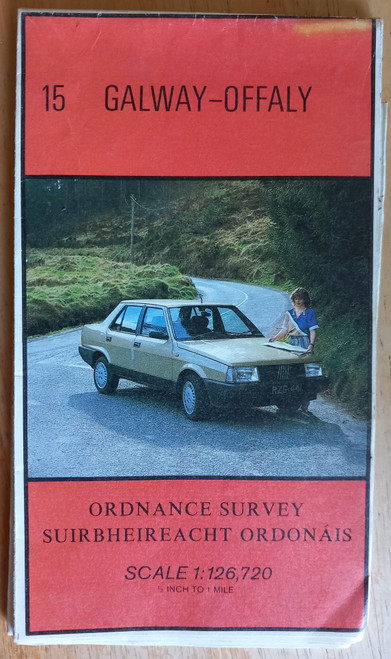
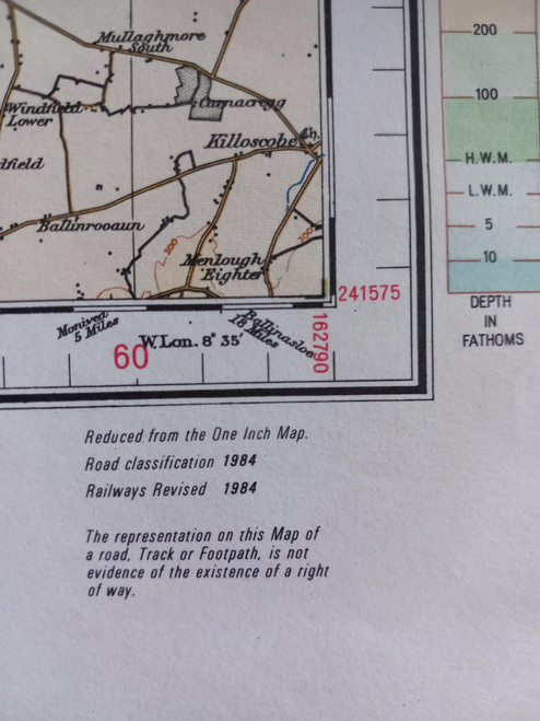
In very good condition, full colour. At this stage 25 maps on this scale covered the whole island, north and south, this scale is no longer reproduced in print form by the OS.
Covers Achill, Belmullet, Killala and Ballina, as far south as Newport, Castlebar and Lough Conn.