Euro
Euro
 British Pound

Product Description
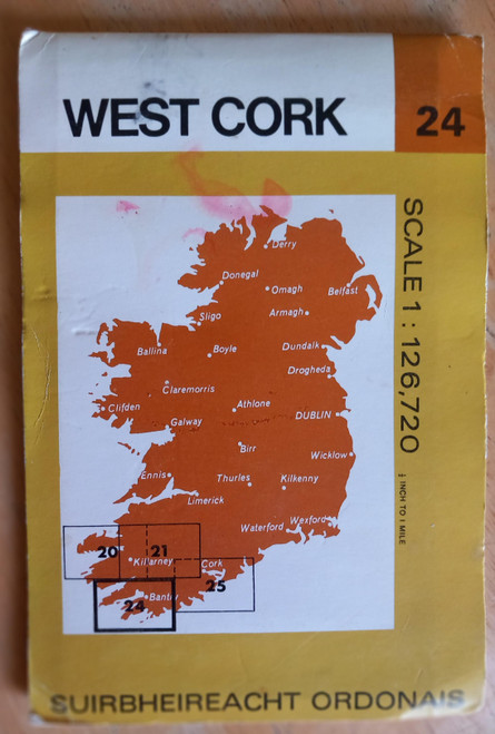
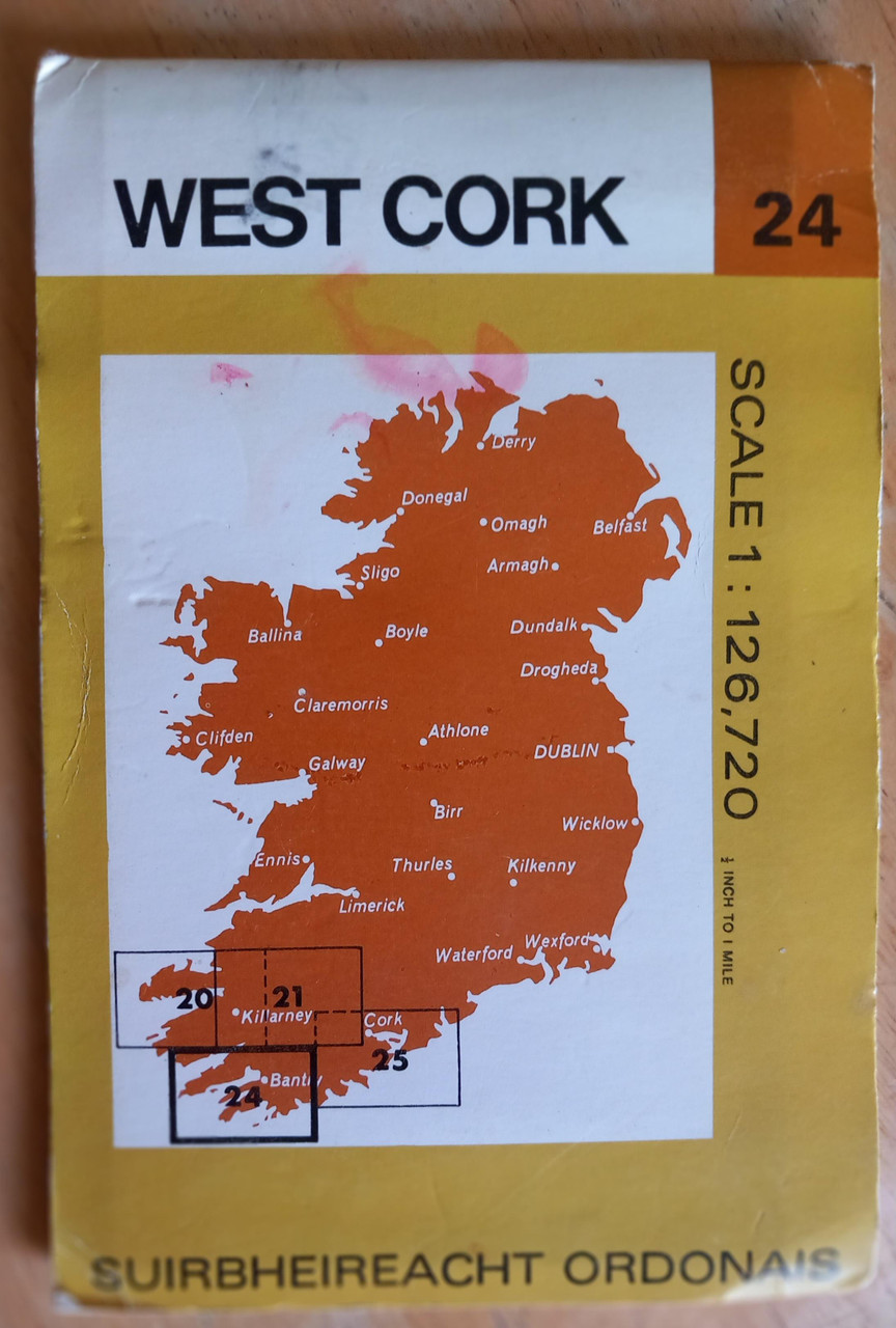
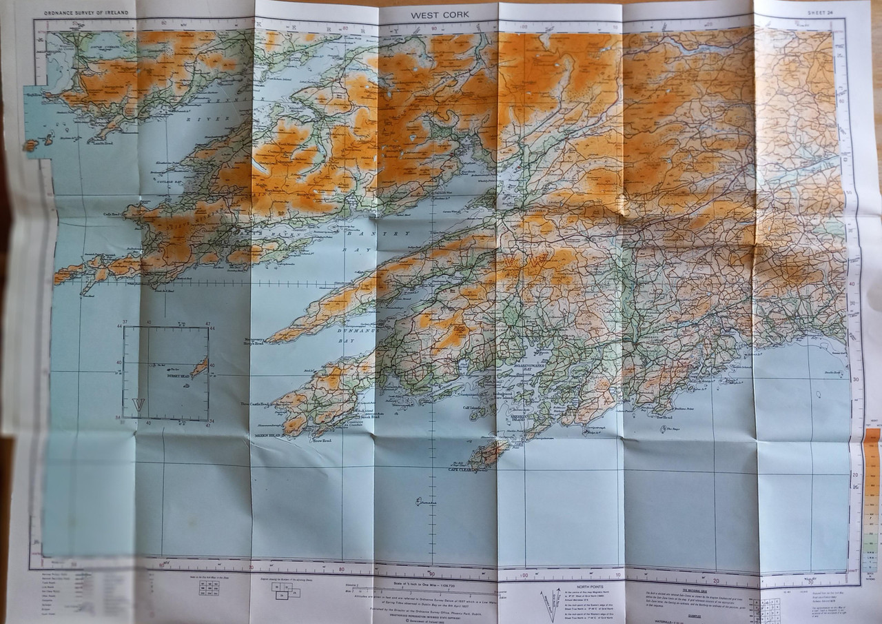
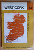
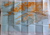
Map 24 from the Ordnance Survey Ireland Half Inch Series, 1982, full colour folded map. ( 25 maps covered the entire island at thius scale, North and South)
In very good condition, light bumping to edges only. Roughly centered on Bantry, also covering the Beara Peninsula, and as far east as Roscarbery.
Externally one cover has a blot mark ( rubbed) as if from a red marker.